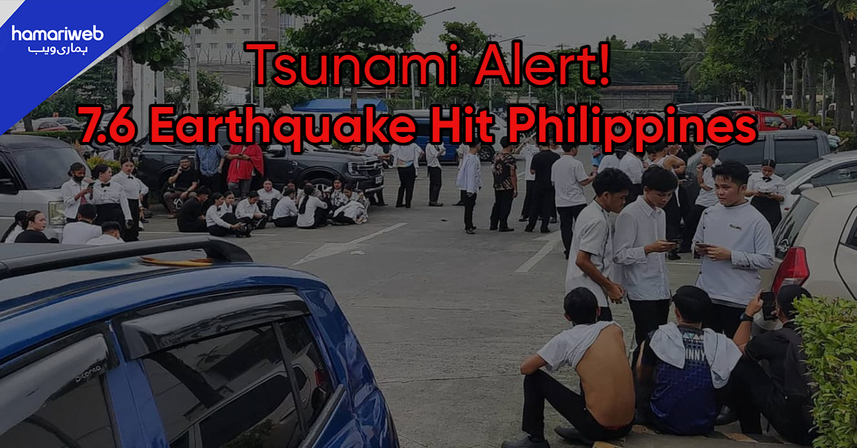
A tsunami alert was triggered in the Philippines, and mass evacuations of the coastal areas were initiated following a powerful 7.6 magnitude earthquake in the Philippines that occurred in the southern region, near Mindanao. Sources reported one death, aftershocks, and structural damage, and tsunami warnings were subsequently called off.
A 7.6 magnitude earthquake strikes southern Philippines near the Davao Oriental coast early Friday, as confirmed by the Philippine Institute of Volcanology and Seismology (PHIVOLCS). The epicenter was recorded near Manay at a depth of around 20 kilometers. According to Reuters, the quake trembled a number of provinces in Mindanao, which immediately issued tsunami warnings.
The earthquake in Philippines was also detected by the United States Geological Survey (USGS) which registered the tremor at 9:43 a.m. local time. According to The Guardian, the quake’s impact extended across neighboring provinces, and residents were urged to move inland to safer zones.
Tsunami Alert in Philippines and Evacuation Orders
Following the earthquake today, the PHIVOLCS issued a tsunami alert in Philippines for Davao Oriental, Surigao del Sur, Dinagat Islands, and Eastern Samar. The Pacific Tsunami Warning Center (PTWC) confirmed that waves between one and three meters were possible within 300 kilometers of the epicenter.
According to Al Jazeera, the tsunami in Philippines warning also extended to nearby regions like Palau and Indonesia’s northern Sulawesi. However, The Guardian later reported that the tsunami threat had been lifted after the initial wave activity subsided.
According to AP News, there were one casualty in Davao Oriental because of falling debris. Some buildings such as Davao City International Airport had structural cracks and power shortages were also reported in some of the affected regions. The government urged people in the coastal area to be vigilant to aftershock.
President Ferdinand Marcos Jr. assured that rescue workers were on their way to assess the damage and help people to evacuate. The schools and government offices were closed down temporarily in the affected provinces.
Earthquake in Philippines: Aftershocks and Geological Context
USGS and PHIVOLCS had verified several aftershocks after the earthquake in Philippines and with magnitude ranging between 5.6 to 5.9. The area belongs to the Pacific “Ring of Fire” that is characterized by frequent seismic activity.
According to Reuters, this quake came just ten days after a 6.9 magnitude earthquake struck Cebu, which claimed so many lives. PHIVOLCS experts explained that monitoring of both seismic and tsunami risks would be done on a continuing basis.

